
Drone Photogrammetry: How a Series of Photos Is Converted Into a 3D Map
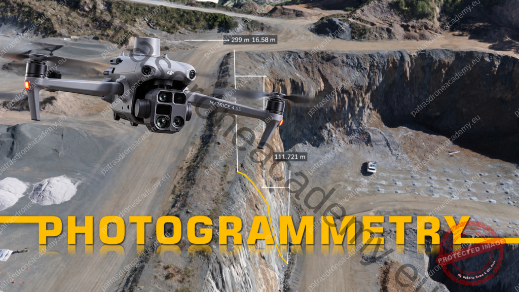
Until a few years ago, when we talked about drones, most of us thought of aerial photos and impressive videos. Today, however, their capabilities have advanced much further. One of their most interesting applications is drone photogrammetry, a technique that allows us to map areas, buildings, and other structures using photographs taken from the air.
Drone Photogrammetry: How a Series of Photos Is Converted Into a 3D Map Read More »