 DAY 1 · FIELD
Workshop 1: Out in the Field with a Drone
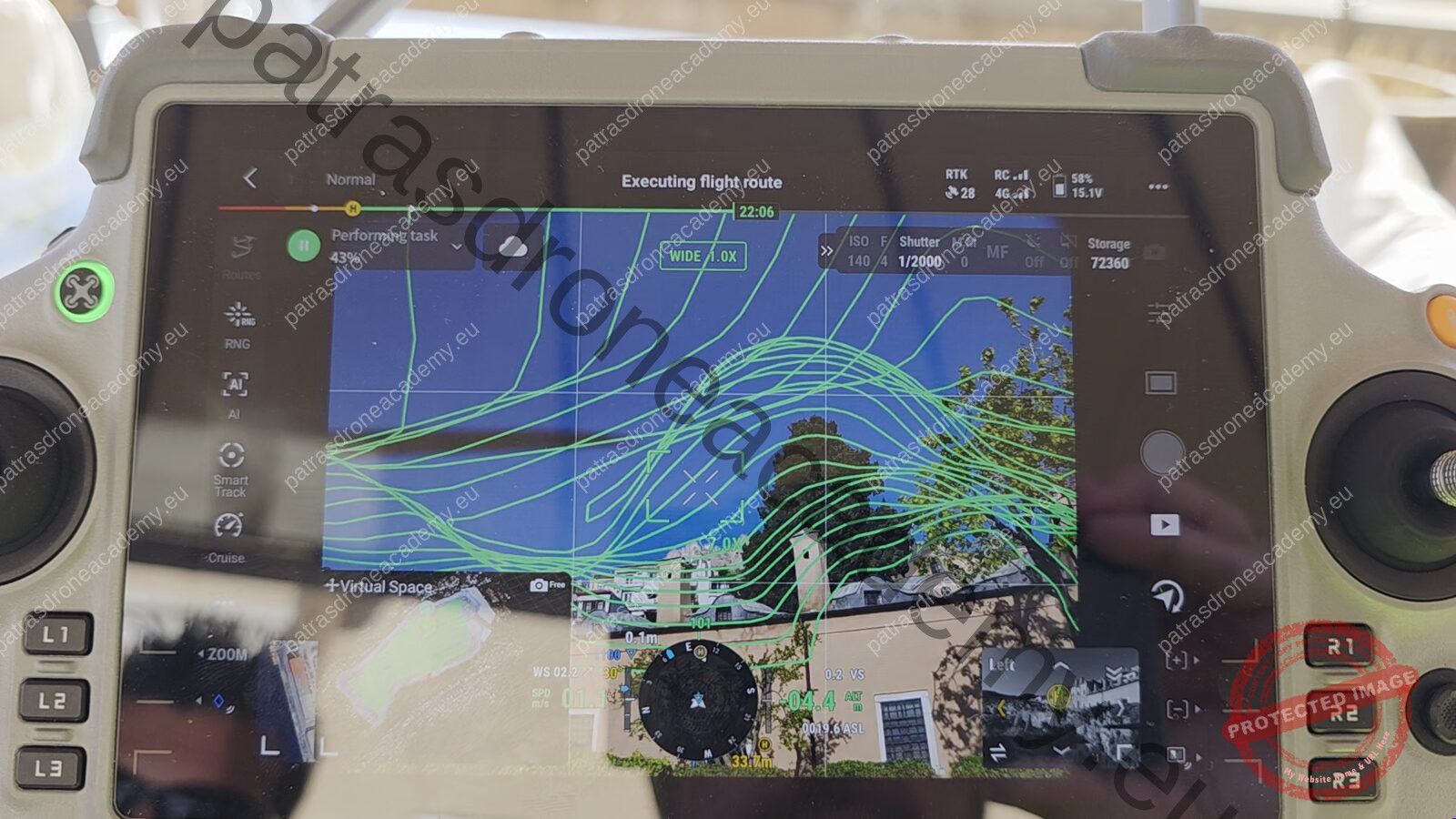
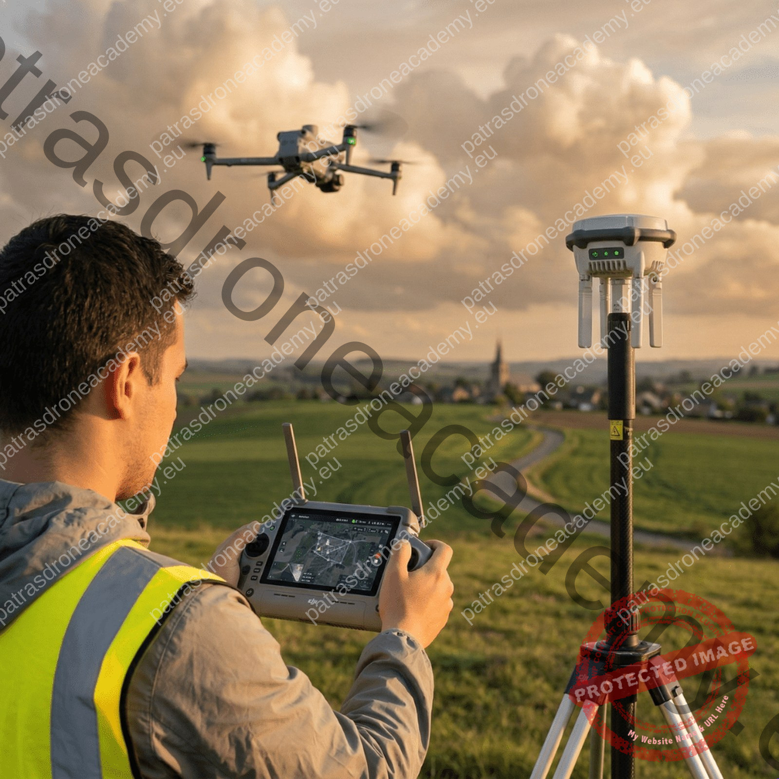
Setting targets and GCPs, planning the mission, flying in a grid pattern, taking oblique shots and circling the building, and reviewing the photos before leaving the site.
From theoretical training to deliverables: you learn to plan the flight, to make them correct shots in the field, to edit them photos in the program of your choice and to export textured 3D models, orthophotos, views and DSM.
PROJECT EXPERIENCE
Projects we will look at in the seminar.
Kavala
Castle
3D model, topographic survey and an interactive visitor map with information about the Castle
Dimitsana
Arcadia
3D model, topographic survey and an interactive presentation for visitors to the area
Zygou Monastery
Chalkidiki
3D model, topographic plan and wall elevations for the architectural documentation of the monument
Poulidou Street
Historic district
3D model and building elevations for the Municipality of Kavala’s redevelopment study of the Panagia historic district
ΣΥΝΕΡΓΑΣΙΕΣ
 Municipality of Kavala
 Open University of Cyprus
 Democritus University of Thrace
 realities.io
 Meta
Meta
 PlayStation
 Epic Games
SEMINAR
You'll learn how to turn photos taken during a flight into high-quality 3D models.
We’ll start with the theory, the basic principles of photogrammetry, and the rules that determine whether a model will turn out correctly. Next come flight planning and image capture, photo alignment, mesh and texture calculation, and finally the 3D model along with the other deliverables: orthophotos, elevations, and floor plans for topography, architectural documentation, and presentation.
We teach the method we use in our own projects, and you can apply it in whatever editing software you prefer. In the courses, we analyze projects ranging from settlements to individual monuments, and in the workshop, you’ll see the instructor create a project from start to finish, right before your eyes.
We want you to understand why each step is taken, so that you can figure out for yourself what went wrong and adapt the method to your own projects.
WHO IS THIS FOR?
Drone pilots with an A1/A3, A2, or STS license who want to create surveys and 3D models—not just aerial footage.
Engineers, architects, and surveyors who need 3D models, elevations, floor plans, and digital surface models (DSMs) generated from photographs.
Archaeologists and those who work with monuments and cultural heritage.
Photographers and videographers who use drones and want to provide 3D models and orthophotos for mapping, VR, AR, or the web.
The theory portion lasts over 10 hours, with time set aside for questions and discussion in each session. The theory is followed by a two-day hands-on workshop, covering everything from flight over the field to the 3D model and the remaining deliverables.
History, active and passive photogrammetry, the workflow, how it differs from traditional surveying, and drone applications.
GNSS, RTK, PPK, and PPP: When are ground control points (GCPs) needed, and how are they placed?
Sensor, exposure, shutter, optical geometry, overlap, and the rules that determine whether the model will be successful.
DJI Pilot, Dronelink, Pix4Dcapture, Litchi, and manual flight: altitude, overlap, and angle depending on the project.
When is data processing and evaluation required, and a comparison of RealityScan, Metashape, Pix4D, 3DF Zephyr, and Meshroom.
Point cloud, GCP alignment, grid, texture, references, and how to interpret the error.
3D OBJ and FBX models, orthophotos, cross-sections and elevations, contour lines, and DSMs. Flight planning in mountainous terrain and within cities.
Setting targets and GCPs, mission planning, grid flight, oblique imaging, and flying around the building.
The photos from the first workshop are processed in RealityScan, resulting in a 3D model, an orthophoto, and a presentation of the results.
TWO DAYS OF PRACTICAL TRAINING
In a group of up to 15 people, you watch the instructor create a model of a real building using the same steps he follows for every project.
The decisions we discussed in class—from flight altitude and overlap to post-processing settings—are applied right here in front of you, and you can see how they affect the result.
Take the photos from the flight with you so you can build your own model.
DAY 1 · FIELD
Setting targets and GCPs, planning the mission, flying in a grid pattern, taking oblique shots and circling the building, and reviewing the photos before leaving the site.
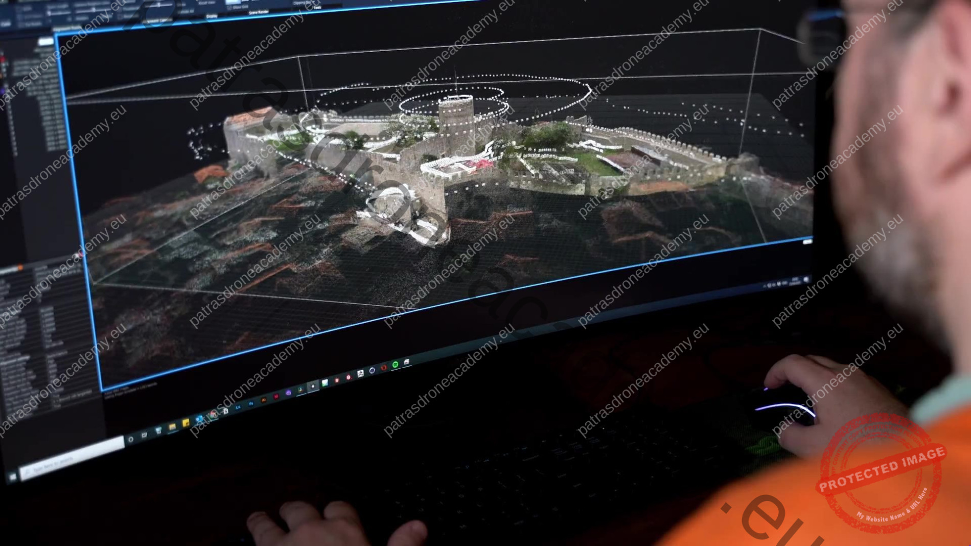 DAY 2 · COMPUTER
The photos from the first workshop are imported into RealityScan: alignment, mesh, texture, reference point detection, and export of the 3D model and orthophoto. At the end, we present the results.
WHY US
You don't need to piece together bits and pieces from scattered tutorials. You follow a workflow that has been tested in real-world projects and can be adapted to different projects, data, and deliverables.
The examples are taken from case studies that have been submitted to municipalities and universities, along with the problems we encountered and how we solved them.
From flight theory and design to the 3D model and the rest of the deliverables—all in one seminar.
We combine drone footage with ground-level shots, as in the projects we’ll be looking at, because the details of a building aren’t always visible from above.
We compare RealityScan, Metashape, Pix4D, 3DF Zephyr, and Meshroom so you can choose the one that best suits your work.
Up to 15 people, with time for questions and discussion in each class.
FROM FLIGHT TO DELIVERY
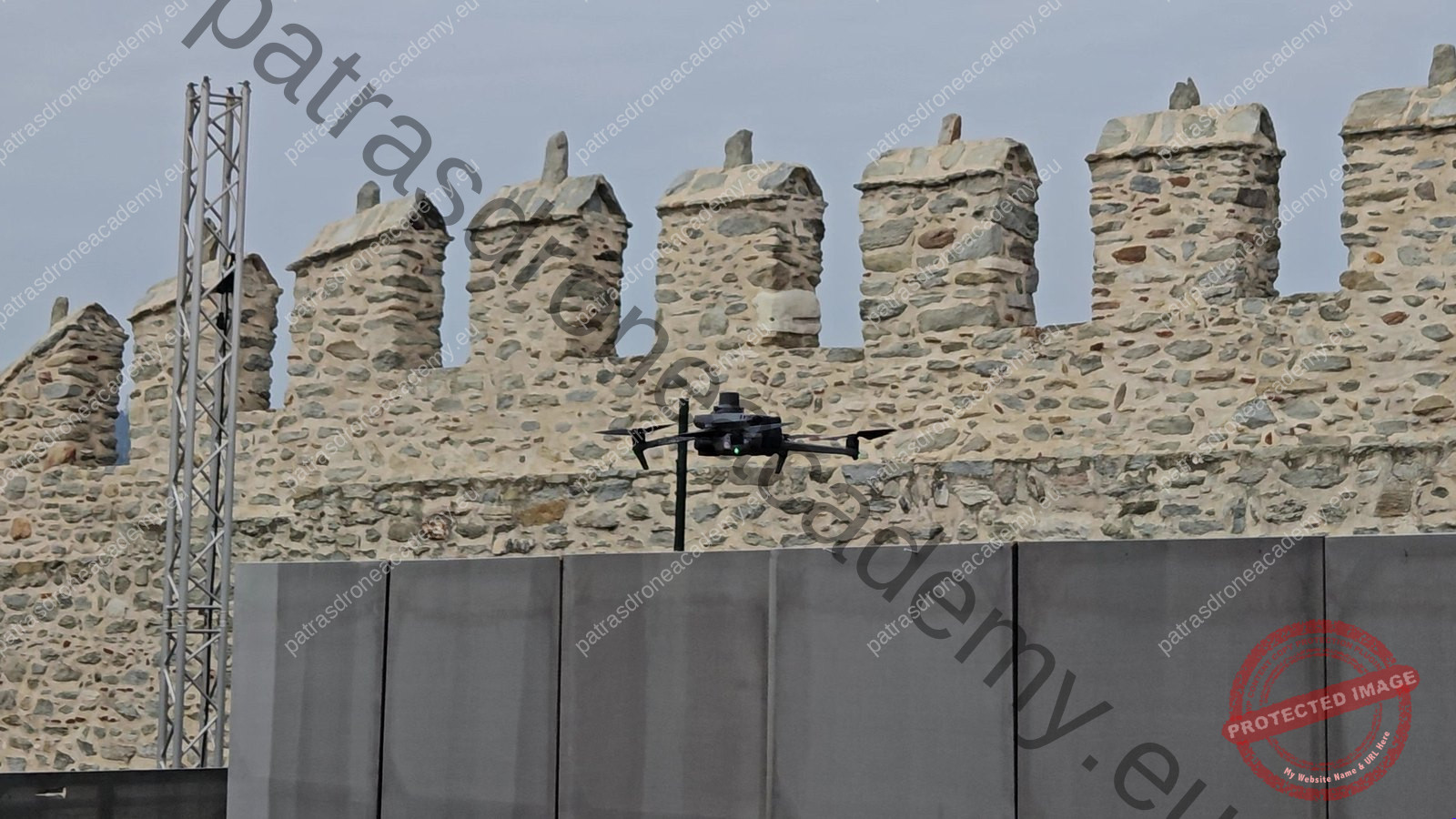
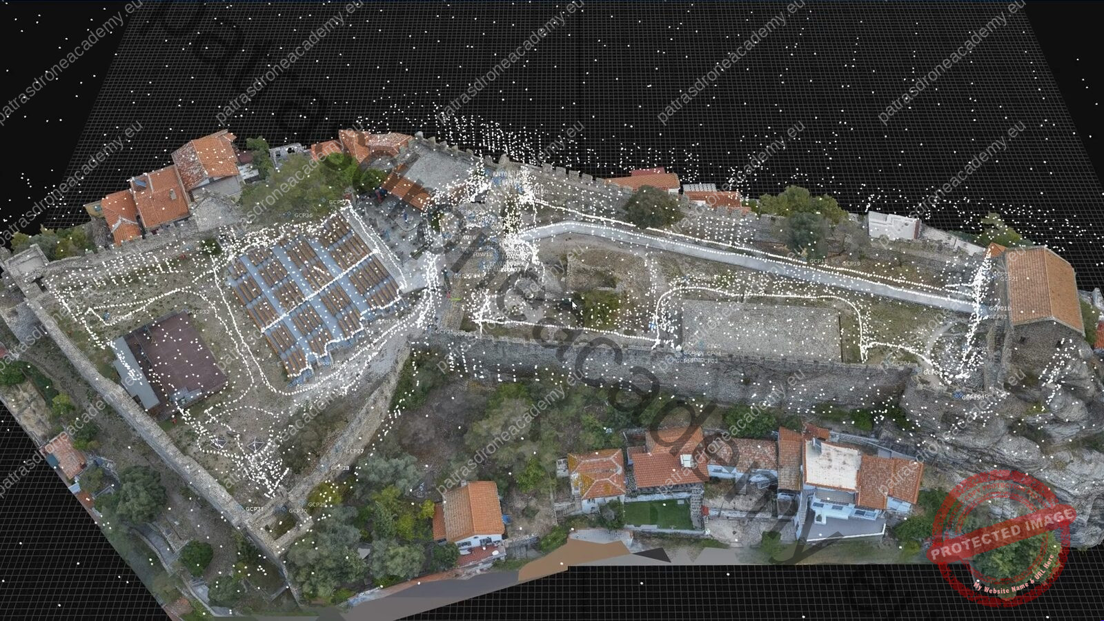
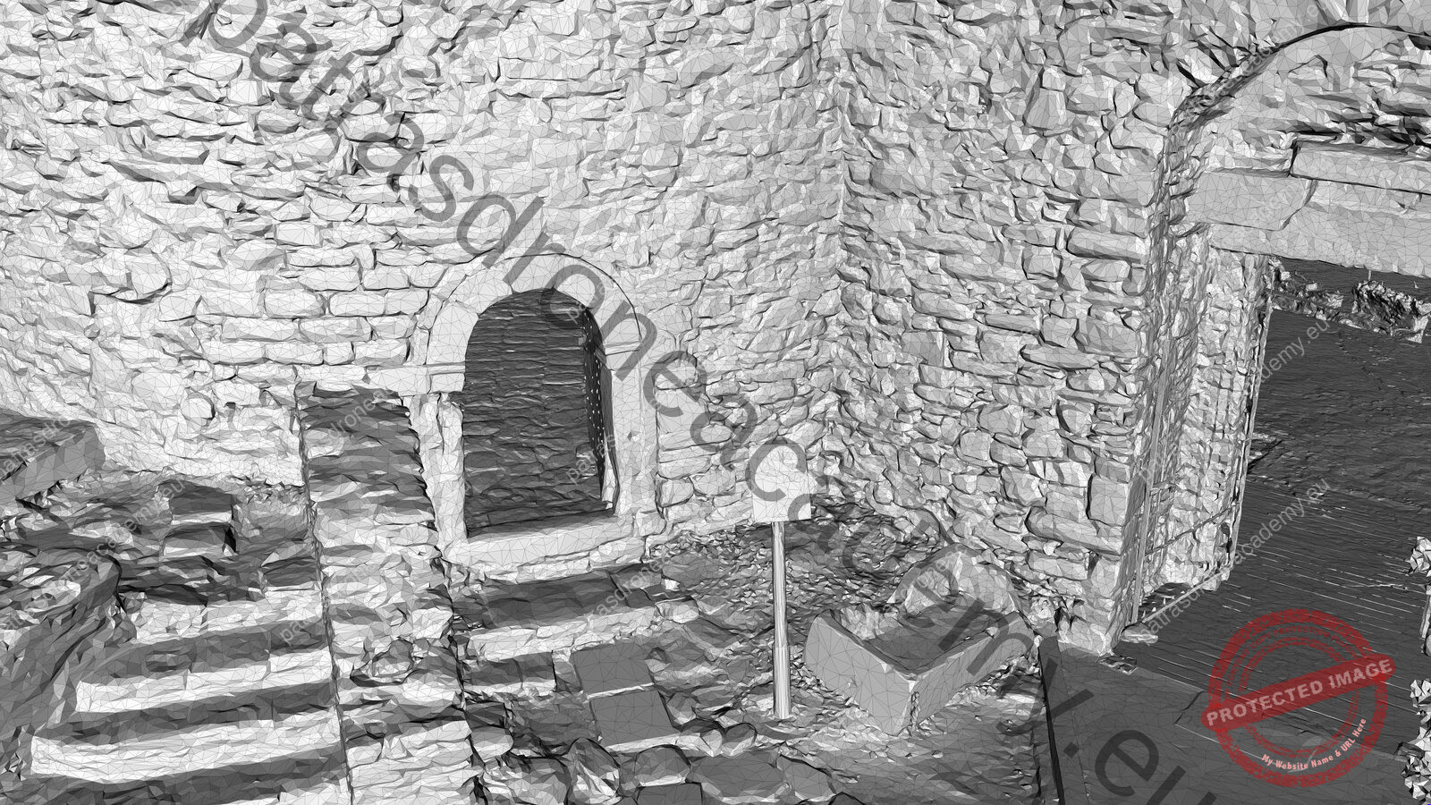
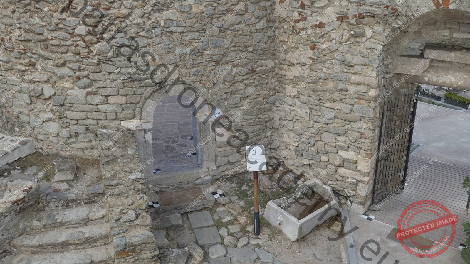
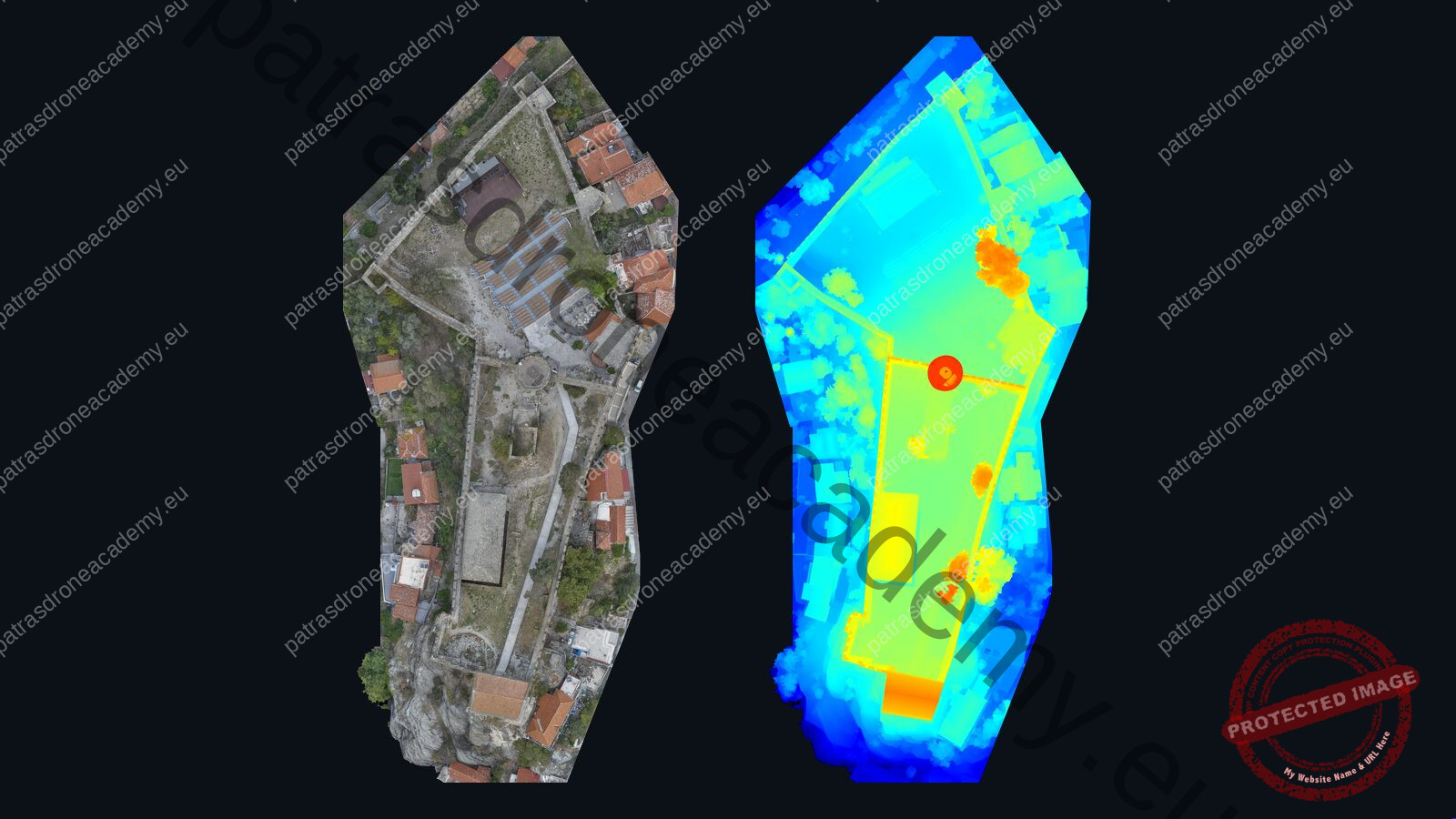
The entire process in five steps, with images from the survey of Kavala Castle: from taking the photos to the 3D model, the orthophoto, and the DSM.
REAL PROJECTS
In these shots, we can see what worked, where a second take was needed, and how their performances come across.
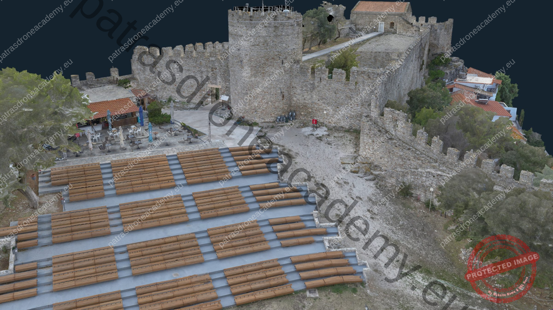
For the Municipality of Kavala: 12,192 drone and ground-based photographs, with a texture resolution of approximately 1 mm per texel.
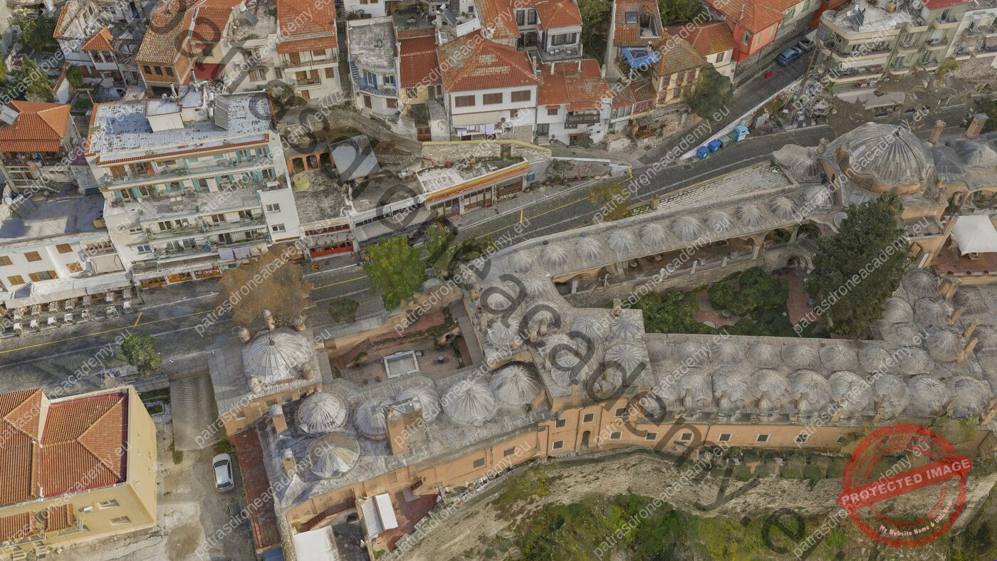
18,776 photos covering 91,871 m², with building facades at 2 mm per pixel.
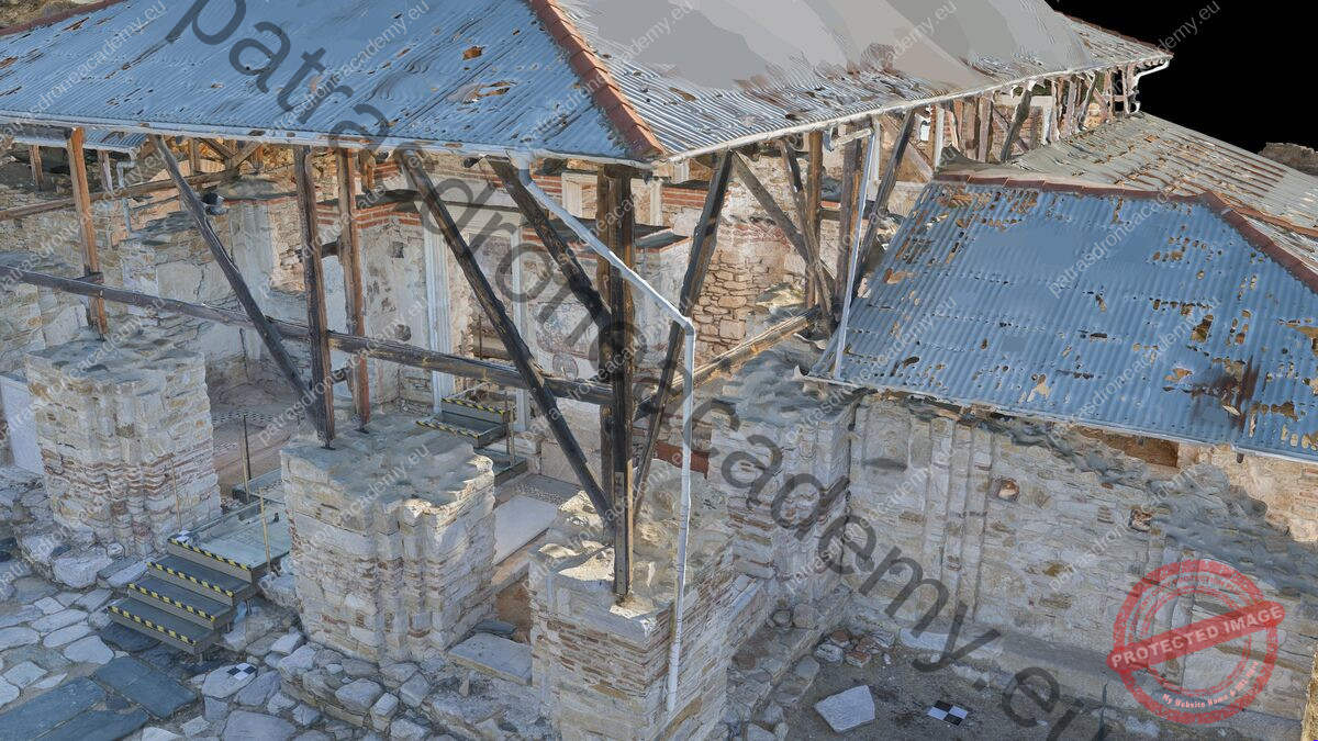
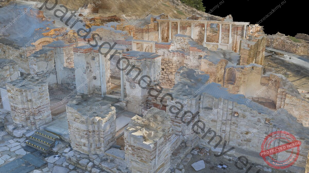
Elevations of the walls and a floor plan without the protective roof, which was removed during post-processing.
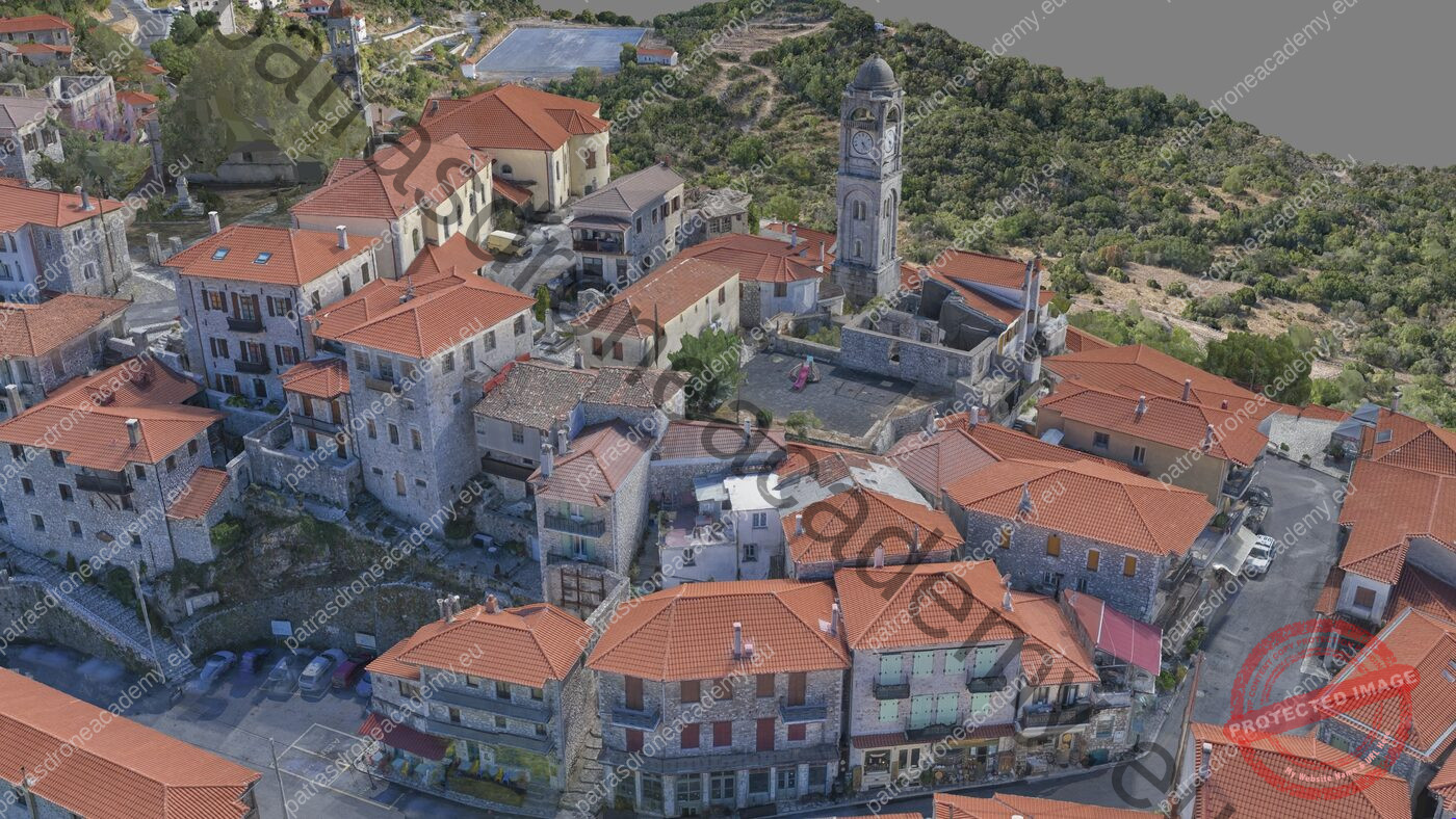
36,899 photos covering 1,210,000 m², with five automated drone flights.
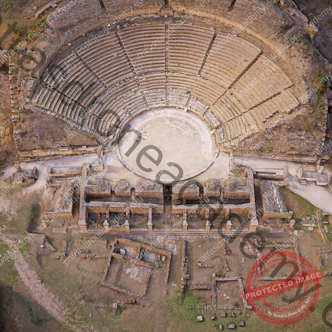
3,422 close-up shots and 543 taken by drone. The model became an educational application for the Open University of Cyprus, which won a Gold Award at the 2021 Cyprus Education Leaders Awards (“Digital Education”).
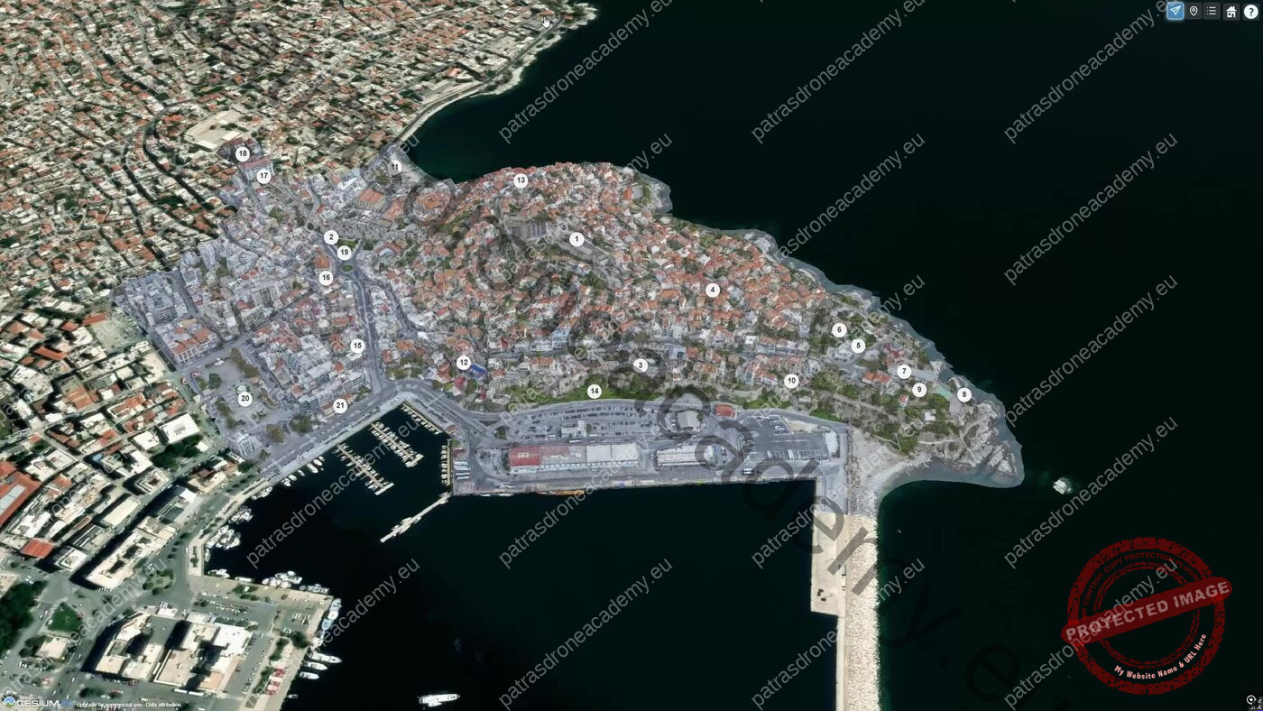
The 3D map of Kavala in the browser, for the Municipality of Kavala: based on a model consisting of 414 million triangles, rendered as lightweight tiles.
EQUIPMENT
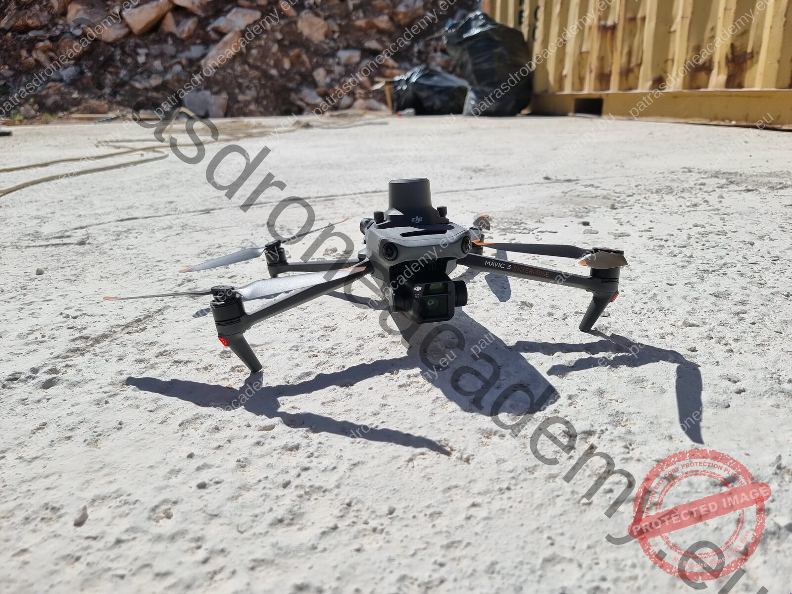
The workshop flights are conducted using a DJI Matrice 4E, a drone designed for mapping and surveying.
Free for students and businesses with revenue under $1 million. Works with NVIDIA and AMD graphics cards.
Specifications: DJI Enterprise
WHO TEACHES
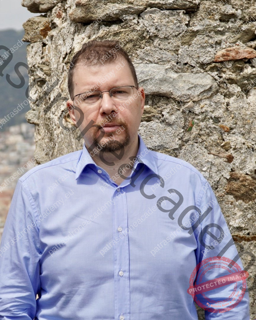
He has been working in photogrammetry for the past decade, using drones, cameras, and lasers. With a background in computer science and interactive media design, he combines the technical aspects of data capture with the presentation of the results, ranging from the web to VR.
It captures monuments and entire settlements. Its scans have been used to create 3D models, interactive maps for visitors, and educational applications.
He has collaborated with organizations and companies in Greece and abroad, such as the Municipality of Kavala, the Open University of Cyprus, Democritus University of Thrace, and realities.io, for which his models were featured in the VR title *Puzzling Places* on Meta Quest and PlayStation VR.
PARTICIPATION
There are up to 15 spots, so everyone can see up close—both in the field and on the computer. You don't need your own drone or computer: the instructor takes care of everything.
FREQUENTLY ASKED QUESTIONS
No. The workshop flights are conducted using the instructor's DJI Matrice 4E, and you can see every setting for the mission.
No. The instructor does all the work in the workshop, and you follow along step by step.
They are streamed live via the Patras Drone Academy platform: over 10 hours of theory, with time for questions.
Photos from the workshop flight, so you can build your own model, and an A4 brochure with a pre-flight checklist and a one-page flight plan.
Yes. Upon completion of the seminar, the Patras Drone Academy issues a certificate of attendance.
Contact the Patras Drone Academy at 2610 335628 or info@patrasdroneacademy.eu to register and pay. Your spot is reserved with a €100 deposit.
REGISTRATION
To register and pay, please contact the Patras Drone Academy.
Patras Drone Academy 36 Zygovistiou and Odysseas Elytis, Patras 2610 335628 info@patrasdroneacademy.eu
